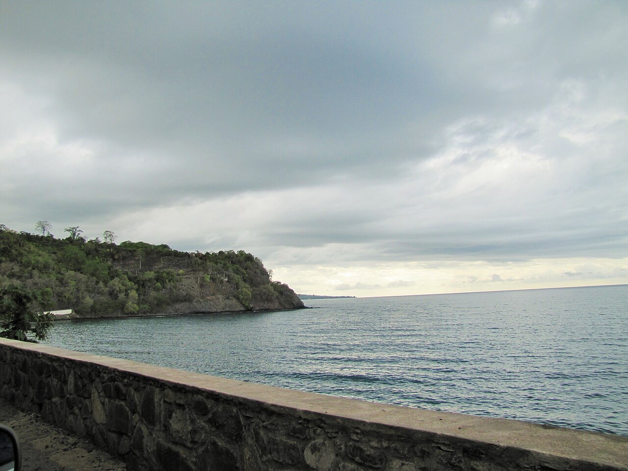
Everything you need to know about São Tomé and Príncipe
Explore São Tomé and Príncipe from São Tomé city and the coffee uplands to southern volcanic peaks and Príncipe’s forested coast. Learn six districts and an autonomous region, place eleven cities and villages, follow island rivers and discover twelve sights alongside ten illustrated topics.
Read it, then make it stick
Geography of São Tomé and Príncipe
Two volcanic islands, six districts and an autonomous region.
Know the shape of the country
Start with the six districts of São Tomé and the Autonomous Region of Príncipe. Place eleven settlements across both islands, then follow rivers from the forested interior to the coast. A separate sights lesson introduces twelve heritage places and landscapes.
Heritage and landscapes of São Tomé and Príncipe
Essential · Volcanic plug
Pico Cão Grande
A steep volcanic plug rises above the southern forests. It is distinct from the island’s highest mountain, Pico de São Tomé.
Place twelve sights across both main islands, from forts and roças to volcanic peaks, mangroves and the Equator. Pins mark approximate learning locations. Essential introduces starting points; Detour adds geographic context. Select a pin to read about a place, then play the map and find them all.
Take Portuguese with you
Greetings and politeness
Hello, please, thank you, sorry: the ten openers everything else builds on.
Keep going one country deeper
When you have had your fill of São Tomé and Príncipe, the countries in white have a guide like this one, and every other has maps of its own.
Africa
- Algeria
- Angola
- Benin
- Botswana
- Burkina Faso
- Burundi
- Cameroon
- Cape Verde
- Central African Republic
- Chad
- Comoros
- Côte d’Ivoire
- Democratic Republic of the Congo
- Djibouti
- Egypt
- Equatorial Guinea
- Eritrea
- Eswatini
- Ethiopia
- Gabon
- Gambia
- Ghana
- Guinea
- Guinea-Bissau
- Kenya
- Lesotho
- Liberia
- Libya
- Madagascar
- Malawi
- Mali
- Mauritania
- Mauritius
- Morocco
- Mozambique
- Namibia
- Niger
- Nigeria
- Republic of the Congo
- Rwanda
- Senegal
- Seychelles
- Sierra Leone
- Somalia
- Somaliland
- South Africa
- South Sudan
- Sudan
- Tanzania
- Togo
- Tunisia
- Uganda
- Western Sahara
- Zambia
- Zimbabwe
Europe
- Albania
- Andorra
- Armenia
- Austria
- Azerbaijan
- Belarus
- Belgium
- Bosnia and Herzegovina
- Bulgaria
- Croatia
- Cyprus
- Czechia
- Denmark
- Estonia
- Finland
- France
- Georgia
- Germany
- Greece
- Hungary
- Iceland
- Ireland
- Italy
- Kosovo
- Latvia
- Liechtenstein
- Lithuania
- Luxembourg
- Malta
- Moldova
- Monaco
- Montenegro
- Netherlands
- North Macedonia
- Northern Cyprus
- Norway
- Poland
- Portugal
- Romania
- Russia
- San Marino
- Serbia
- Slovakia
- Slovenia
- Spain
- Sweden
- Switzerland
- Türkiye
- Ukraine
- United Kingdom
- Vatican City
Asia
- Afghanistan
- Bahrain
- Bangladesh
- Bhutan
- Brunei
- Cambodia
- China
- India
- Indonesia
- Iran
- Iraq
- Israel
- Japan
- Jordan
- Kazakhstan
- Kuwait
- Kyrgyzstan
- Laos
- Lebanon
- Malaysia
- Maldives
- Mongolia
- Myanmar
- Nepal
- North Korea
- Oman
- Pakistan
- Palestine
- Philippines
- Qatar
- Saudi Arabia
- Singapore
- South Korea
- Sri Lanka
- Syria
- Taiwan
- Tajikistan
- Thailand
- Timor-Leste
- Turkmenistan
- United Arab Emirates
- Uzbekistan
- Vietnam
- Yemen