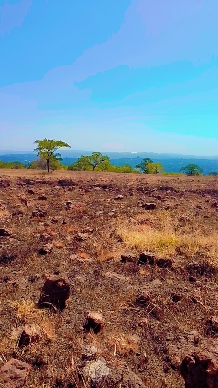
Everything you need to know about Guinea
Explore Guinea from Conakry and the Atlantic coast to the Fouta Djallon, Upper Guinea and Forest Guinea. Place eighteen cities, follow rivers across borders, discover landscapes and read ten illustrated topics.
Read it, then make it stick
Geography of Guinea
From coastal mangroves to highlands and forest.
Know the shape of the country
Place cities and follow the Niger, Gambia, Bafing and Senegal rivers across national borders. Pan and zoom out to explore the available mapped courses.
Heritage and landscapes of Guinea
Essential · World Heritage
Mount Nimba
The UNESCO-listed reserve protects forest and highland habitats in Guinea and Côte d’Ivoire.
Explore ten landscapes, historic places and city landmarks. Pins are approximate learning locations, not entrances, routes or assurances of access. Essential marks starting points for learning; Detour adds geographic context. Select a pin to read about a place, then play the map and find them all.
Take French with you
Greetings and politeness
Hello, please, thank you, sorry: the ten openers everything else builds on.
Keep going one country deeper
When you have had your fill of Guinea, the countries in white have a guide like this one, and every other has maps of its own.
Africa
- Algeria
- Angola
- Botswana
- Burkina Faso
- Burundi
- Cameroon
- Central African Republic
- Chad
- Côte d’Ivoire
- Democratic Republic of the Congo
- Djibouti
- Egypt
- Eritrea
- Ethiopia
- Gabon
- Ghana
- Kenya
- Libya
- Madagascar
- Mali
- Mauritania
- Morocco
- Mozambique
- Namibia
- Niger
- Nigeria
- Republic of the Congo
- Rwanda
- Senegal
- Somalia
- Somaliland
- South Africa
- South Sudan
- Sudan
- Tanzania
- Tunisia
- Uganda
- Western Sahara
- Zambia
- Zimbabwe
Europe
- Albania
- Andorra
- Armenia
- Austria
- Azerbaijan
- Belarus
- Belgium
- Bosnia and Herzegovina
- Bulgaria
- Croatia
- Cyprus
- Czechia
- Denmark
- Estonia
- Finland
- France
- Georgia
- Germany
- Greece
- Hungary
- Iceland
- Ireland
- Italy
- Kosovo
- Latvia
- Liechtenstein
- Lithuania
- Luxembourg
- Malta
- Moldova
- Monaco
- Montenegro
- Netherlands
- North Macedonia
- Northern Cyprus
- Norway
- Poland
- Portugal
- Romania
- Russia
- San Marino
- Serbia
- Slovakia
- Slovenia
- Spain
- Sweden
- Switzerland
- Türkiye
- Ukraine
- United Kingdom
- Vatican City
Asia
- Afghanistan
- Bahrain
- Bangladesh
- Bhutan
- Brunei
- Cambodia
- China
- India
- Indonesia
- Iran
- Iraq
- Israel
- Japan
- Jordan
- Kazakhstan
- Kuwait
- Kyrgyzstan
- Laos
- Lebanon
- Malaysia
- Maldives
- Mongolia
- Myanmar
- Nepal
- North Korea
- Oman
- Pakistan
- Palestine
- Philippines
- Qatar
- Saudi Arabia
- Singapore
- South Korea
- Sri Lanka
- Syria
- Taiwan
- Tajikistan
- Thailand
- Timor-Leste
- Turkmenistan
- United Arab Emirates
- Uzbekistan
- Vietnam
- Yemen