Facts about Guinea
Explore Guinea from Conakry and the Atlantic coast to the Fouta Djallon, Upper Guinea and the southeastern forests.
- Capital
- Conakry
- Area
- About 246,000 km²
- Currency
- Guinean franc (GNF)
- Official languages
- National languages and French
- Working language
- French
- Independence
- 2 October 1958
Guinea · 0 of 20 rounds passed
Two timed rounds per topic, 20 seconds a question
Conakry and Kindia orient the coast; Labé and Dalaba lie in the Fouta Djallon. Kankan and Siguiri introduce Upper Guinea, while Nzérékoré and Lola lead toward the forested southeast.
Follow the Niger, Gambia, Bafing and Senegal rivers across borders. The maps show approximate learning locations and generalized river geometry.
Geography of Guinea
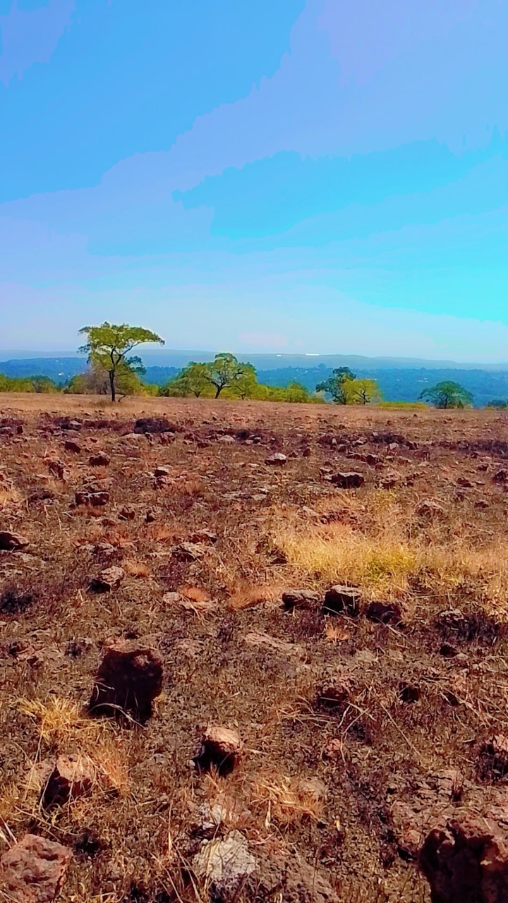
From coastal mangroves to highlands and forest.
- Where is Conakry?
- On a peninsula on Guinea’s Atlantic coast.
- Where does the Niger end?
- Its delta reaches the Atlantic in Nigeria.
- What is the Fouta Djallon?
- A highland region containing important river headwaters.
More about Guinea: geography
Guinea lies on the Atlantic coast of West Africa, bordering Guinea-Bissau, Senegal, Mali, Côte d’Ivoire, Liberia and Sierra Leone. Four broad regions are often distinguished: Maritime Guinea, the Fouta Djallon highlands, Upper Guinea and Forest Guinea.
The Niger rises in the Guinea highlands and crosses West Africa to the Atlantic in Nigeria. The Gambia rises in the Fouta Djallon; the Bafing is a headwater of the Senegal River. Pan and zoom out to follow the mapped rivers beyond Guinea.
History of Guinea
Kingdoms, colonial conquest and independence.
- Who resisted French conquest?
- Samori Touré, leader of the Wassoulou state.
- When did Guinea become independent?
- 2 October 1958.
- Who was its first president?
- Ahmed Sékou Touré.
More about Guinea: history
States and trade networks connected communities across the region long before the present national boundaries. In the nineteenth century Samori Touré built the Wassoulou state and resisted French conquest.
Guinea voted against joining the French Community in 1958 and became independent on 2 October under Ahmed Sékou Touré. His government became authoritarian; subsequent presidencies, coups and political transitions have shaped the country.
Languages of Guinea
Pular, Maninka, Susu and many more.
- Which languages are official?
- The 2025 constitution recognizes national languages and French.
- What is the working language?
- French.
- What is N’Ko?
- A writing system for Manding languages.
More about Guinea: language
Guinea is multilingual. Pular is widely used in the Fouta Djallon, Maninka in Upper Guinea and Susu along the coast; Kissi, Kpelle and other languages are also spoken. N’Ko is a script developed for Manding languages.
The 2025 constitution names national languages and French as official languages and French as the working language. The linked Worldly course teaches general French and does not cover Guinea’s full linguistic diversity.
Culture of Guinea
Music, storytelling and contemporary creativity.
- What is a balafon?
- A tuned percussion instrument with wooden keys.
- What do griots transmit?
- Stories, histories and praise through oral performance.
- Is Guinean culture uniform?
- No; traditions vary across communities and change over time.
More about Guinea: culture
Guinean music and storytelling draw on varied local traditions. Griots transmit histories and praise through performance; instruments include the balafon and kora, while the djembe is heard in many musical settings.
National ensembles and individual artists have carried Guinean music and dance to audiences abroad. These traditions continue to change, and no single performance represents all communities.
Economy of Guinea
Bauxite, farming and trade.
- What is bauxite used for?
- It is an important ore for aluminium.
- What else supports livelihoods?
- Agriculture, fishing, trade and services.
- Why consider mining’s impacts?
- Extraction can affect land, water and nearby communities.
More about Guinea: economy
Guinea has substantial bauxite deposits, and mining links the country to aluminium production around the world. Gold and other minerals also contribute to the economy; extraction has environmental and social consequences.
Farming, fishing, services and trade support livelihoods alongside mining. Development depends on how resource income, infrastructure and opportunities are shared across communities.
Politics of Guinea
Institutions and political change.
- What happened in 2021?
- A military coup removed President Alpha Condé.
- When was the new constitution promulgated?
- In September 2025.
- What kind of state is Guinea?
- A republic.
More about Guinea: politics
Guinea is a republic with a presidency and national institutions. Since independence it has experienced authoritarian rule, military coups and contested transitions; the 2021 coup removed President Alpha Condé.
A new constitution was promulgated in September 2025 after a referendum. Its provisions include recognition of national languages alongside French. Political conditions can change, so consult current sources for officeholders and elections.
Nature & Wildlife of Guinea
Highland habitats, forests and coastal wetlands.
- Where is Mount Nimba?
- In the border region of Guinea, Côte d’Ivoire and Liberia.
- Which countries share the UNESCO property?
- Guinea and Côte d’Ivoire.
- What grows along coastal estuaries?
- Mangrove forests.
More about Guinea: nature & wildlife
Mount Nimba rises along Guinea’s southeastern border. The UNESCO-listed strict nature reserve in Guinea and Côte d’Ivoire protects habitats ranging from forest to mountain grassland, with distinctive plants and animals.
Mangroves and estuaries fringe the Atlantic coast, while uplands and forest landscapes support other wildlife. Conservation involves local communities and the pressures of land use, hunting and mining.
Food & Cuisine of Guinea
Rice, sauces and regional ingredients.
- What staple is widely eaten?
- Rice.
- What is fonio?
- A small grain grown and eaten in parts of West Africa.
- Are recipes identical throughout Guinea?
- No; they vary by household and region.
More about Guinea: food & cuisine
Rice is a common staple, often served with sauces made from ingredients such as groundnuts, tomatoes or leaves. Fish is important in coastal and river communities; cassava, plantains and fonio also feature in meals.
Ingredients and recipes differ by place, household and season. Markets connect local growers and cooks with foods from other parts of the country and beyond.
Landmarks of Guinea
Mount Nimba, waterfalls and the capital.
- What is Guinea’s inscribed World Heritage site?
- Mount Nimba Strict Nature Reserve.
- Where are the Îles de Los?
- Off the coast near Conakry.
- What do map pins represent?
- Approximate learning locations, not entrances or routes.
More about Guinea: landmarks
The Mount Nimba Strict Nature Reserve is Guinea’s inscribed UNESCO World Heritage property. The highlands of the Fouta Djallon are known for waterfalls and escarpments, including the area around Dalaba.
Conakry’s Grand Mosque and National Museum offer different starting points for learning about the capital. The Îles de Los lie offshore. Map pins are approximate and do not indicate access or opening hours.
People & Society of Guinea
Communities, cities and connections across borders.
- Do cultural communities stop at borders?
- No; many family, language and trade networks cross them.
- What is Guinea’s capital?
- Conakry.
- Does everyone speak only one language?
- No; many people use more than one.
More about Guinea: people & society
Fulɓe, Malinké, Susu, Kissi, Kpelle and other communities contribute to Guinea’s languages and histories. Identities and family networks cross borders, and individuals may speak several languages.
Conakry draws people from across the country. Rural livelihoods, regional cities and migration all shape daily life; experiences differ by location, generation and household.