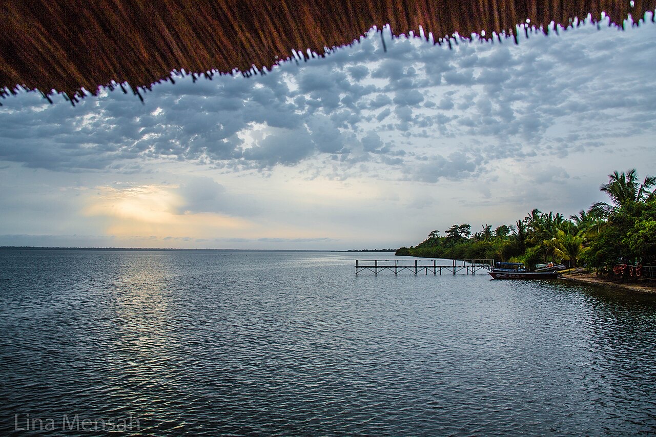
Everything you need to know about Togo
Explore Togo from Lomé and the Atlantic coast through the Plateaux hills to Kara and the northern savannas. Learn its five regions, place sixteen cities and towns, find seven rivers and Lake Togo, and discover ten heritage and natural sights.
Read it, then make it stick
Geography of Togo
Coastal lagoons, five regions and two major drainage systems.
Know the shape of the country
Three maps introduce five regions, sixteen cities and towns, seven rivers and Lake Togo, with a separate sights lesson for ten heritage places and landscapes. The Oti and Kara belong to the Volta basin; the Mono flows south toward the Atlantic.
Heritage and landscapes of Togo
Essential · Cultural landscape
Koutammakou
A living Batammariba landscape of earthen tower houses, farms and sacred places; representative landscape point.
Explore ten historic places and natural landscapes, from Lomé and Lake Togo to Koutammakou and the Nok granary caves. Pins mark approximate learning locations. Essential marks starting points for learning; Detour adds geographic context. These labels are not travel or access recommendations. Select a pin to read about a place, then play the map and find them all.
Take French with you
Greetings and politeness
Hello, please, thank you, sorry: the ten openers everything else builds on.
Keep going one country deeper
When you have had your fill of Togo, the countries in white have a guide like this one, and every other has maps of its own.
Africa
- Algeria
- Angola
- Benin
- Botswana
- Burkina Faso
- Burundi
- Cameroon
- Central African Republic
- Chad
- Côte d’Ivoire
- Democratic Republic of the Congo
- Djibouti
- Egypt
- Eritrea
- Ethiopia
- Gabon
- Ghana
- Guinea
- Guinea-Bissau
- Kenya
- Liberia
- Libya
- Madagascar
- Mali
- Mauritania
- Morocco
- Mozambique
- Namibia
- Niger
- Nigeria
- Republic of the Congo
- Rwanda
- Senegal
- Sierra Leone
- Somalia
- Somaliland
- South Africa
- South Sudan
- Sudan
- Tanzania
- Tunisia
- Uganda
- Western Sahara
- Zambia
- Zimbabwe
Europe
- Albania
- Andorra
- Armenia
- Austria
- Azerbaijan
- Belarus
- Belgium
- Bosnia and Herzegovina
- Bulgaria
- Croatia
- Cyprus
- Czechia
- Denmark
- Estonia
- Finland
- France
- Georgia
- Germany
- Greece
- Hungary
- Iceland
- Ireland
- Italy
- Kosovo
- Latvia
- Liechtenstein
- Lithuania
- Luxembourg
- Malta
- Moldova
- Monaco
- Montenegro
- Netherlands
- North Macedonia
- Northern Cyprus
- Norway
- Poland
- Portugal
- Romania
- Russia
- San Marino
- Serbia
- Slovakia
- Slovenia
- Spain
- Sweden
- Switzerland
- Türkiye
- Ukraine
- United Kingdom
- Vatican City
Asia
- Afghanistan
- Bahrain
- Bangladesh
- Bhutan
- Brunei
- Cambodia
- China
- India
- Indonesia
- Iran
- Iraq
- Israel
- Japan
- Jordan
- Kazakhstan
- Kuwait
- Kyrgyzstan
- Laos
- Lebanon
- Malaysia
- Maldives
- Mongolia
- Myanmar
- Nepal
- North Korea
- Oman
- Pakistan
- Palestine
- Philippines
- Qatar
- Saudi Arabia
- Singapore
- South Korea
- Sri Lanka
- Syria
- Taiwan
- Tajikistan
- Thailand
- Timor-Leste
- Turkmenistan
- United Arab Emirates
- Uzbekistan
- Vietnam
- Yemen