Facts about Togo
Explore Togo from Lomé and the coastal lagoons to the forested hills of the southwest, the central corridor and the northern savannas.
- Capital
- Lomé
- Area
- About 56,600 km²
- Currency
- West African CFA franc (XOF)
- Official language
- French
- Regions
- 5
- Independence
- 27 April 1960
Togo · 0 of 20 rounds passed
Two timed rounds per topic, 20 seconds a question
Togo stretches north from the Gulf of Guinea between Ghana and Benin, with Burkina Faso at its northern border. Its five regions are Maritime, Plateaux, Centrale, Kara and Savanes. Lomé is the national capital. The regional capitals are Tsévié, Atakpamé, Sokodé, Kara and Dapaong; Greater Lomé has a separate autonomous administration.
Place sixteen cities and towns, learn the five regions, find seven rivers and Lake Togo, and discover ten heritage and natural sights. The Mono flows south along part of the Benin border, while the Oti and Kara connect northern Togo with the Volta basin. The maps are learning references and do not indicate safe access.
Geography of Togo
Coastal lagoons, five regions and two major drainage systems.
- Which countries border Togo?
- Ghana, Benin and Burkina Faso.
- What are Togo’s five regions?
- Maritime, Plateaux, Centrale, Kara and Savanes.
- Which river basin receives the Oti?
- The Volta basin, including Lake Volta in Ghana.
More about Togo: geography
Togo is a narrow West African country between Ghana and Benin, with Burkina Faso to the north and the Gulf of Guinea to the south. Lomé stands on the southwestern coast. Greater Lomé is administered as an autonomous district. The five regions run northward from Maritime through Plateaux, Centrale and Kara to Savanes. Hills and forested slopes around Kpalimé contrast with the northern savannas; Mount Agou is the country’s highest point.
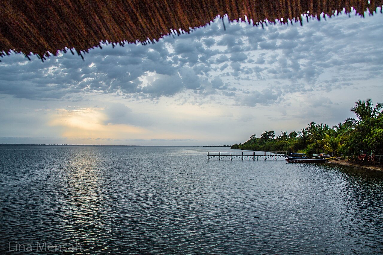
Water connects these landscapes across borders. The Mono flows south and forms part of the boundary with Benin. The Oti and its tributaries belong to the Volta basin, continuing toward Ghana and Lake Volta. In the south, the Zio and Haho feed the coastal lagoon system. Lake Togo is part of that lagoon system, with salinity varying as river water and marine water mix.
History of Togo
Coastal trade, colonial partition and independence in 1960.
- When did Togo become independent?
- 27 April 1960.
- What happened to British Togoland?
- It became part of Ghana.
- What does Wood Home help document?
- The history of enslavement and the Atlantic slave trade.
More about Togo: history
Togo’s history includes many kingdoms, migrations and trading communities whose territories did not match today’s borders. Notsé is an important place in Ewe histories and traditions of migration. Coastal settlements such as Aného and Agbodrafo participated in Atlantic commerce, including the trafficking of enslaved people. Agbodrafo’s Wood Home preserves evidence of that violence and is a place for remembrance.
Germany established the Togoland protectorate in 1884. After the First World War, the territory was divided under British and French administration. British Togoland later became part of Ghana; French-administered Togo became independent on 27 April 1960. Sylvanus Olympio, the first president, was killed in a 1963 coup. Gnassingbé Eyadéma took power in 1967 and ruled until 2005. Colonial descriptions of a ‘model colony’ reflected imperial priorities and should not be mistaken for an account of local freedom or welfare.
Togo’s languages
French, Ewe, Kabiyè, Gen and many other languages.
- What is Togo’s official language?
- French.
- Name two widely spoken Togolese languages besides French.
- Ewe and Kabiyè; Gen, Tem and many others are also spoken.
- What does it mean for a language to be tonal?
- Pitch differences can change meaning.
More about Togo: language
French is Togo’s official language and is used in administration and schooling. Ewe is widely spoken in the south and across the border in Ghana; Kabiyè is especially associated with northern communities. Gen, often called Mina in coastal usage, is another important language around Lomé and neighbouring coastal towns. Tem, Moba, Nawdm and many other languages form part of the country’s linguistic life.
People may use different languages at home, in markets and at school. A language does not belong exclusively to one region or identity, and national borders cut across older language networks. Ewe and Kabiyè are tonal languages: differences in pitch can distinguish words or grammatical meanings. Worldly’s linked lessons teach general French; they do not represent all the languages spoken in Togo.
Culture of Togo
Living architecture, music, festivals and textile commerce.
- What activity is associated with Evala?
- Wrestling in Kabiyè initiation traditions.
- Who are the Nana Benz?
- Women traders known for their influence in the wax-print textile trade.
- Why is Koutammakou more than a collection of buildings?
- Its houses belong to a living cultural landscape with farming, social and ritual practices.
More about Togo: culture
Togolese cultural life varies between communities and changes with each generation. Ewe drumming and dance connect southern Togo with Ghana, while Evala wrestling is associated with Kabiyè initiation traditions around Kara. Vodun and other religious practices include sacred places and specialist knowledge; they should be described with respect rather than reduced to curiosities. Christianity, Islam and inherited religious traditions coexist in different ways.
Koutammakou’s earthen tower houses belong to a living Batammariba landscape of farms, homes and ceremonial places. Architecture here expresses social and spiritual relationships as well as practical building skills. Weaving, pottery, carving and contemporary music offer other perspectives. Lomé’s Nana Benz traders became prominent in the regional trade in wax-print cloth, showing how commerce, fashion and women’s entrepreneurship helped shape urban culture.
Economy of Togo
Farms, phosphates, markets and Lomé’s regional port.
- Which mineral is an important Togolese export?
- Phosphate.
- Why is Lomé’s port important to inland countries?
- It provides a regional gateway for imports and exports.
- Which currency does Togo use?
- The West African CFA franc, with currency code XOF.
More about Togo: economy
Agriculture, services, manufacturing and phosphate mining contribute to Togo’s economy. Farmers produce maize, cassava, yam and other food crops, alongside crops such as cotton, coffee and cocoa. The southwest’s wetter hills support different farming systems from the northern savannas. Rainfall, access to roads, storage and market prices all influence farming households’ incomes.
Lomé’s deep-water port is a major regional logistics hub, serving Togo and landlocked countries farther inland. It is one of several deep-water ports in West Africa. Markets, transport, banking, small businesses and cross-border trade link the capital with other towns and neighbouring countries. Togo uses the West African CFA franc, issued by the BCEAO for the West African monetary union. Economic growth and port activity do not translate evenly into household living standards.
Politics of Togo
A parliamentary system and a two-chamber legislature.
- Which system did the 2024 constitutional revision introduce?
- A parliamentary system.
- What are the two chambers of parliament?
- The National Assembly and the Senate.
- Which office heads the government under the new framework?
- The president of the council of ministers.
More about Togo: politics
A constitutional revision promulgated on 6 May 2024 changed Togo’s institutional framework from a presidential to a parliamentary system. The transition took effect in 2025. The president of the council of ministers heads the government, while the president of the republic has a distinct role. The changes were contested by opposition groups, and accounts of the reform should distinguish constitutional rules from political debate about their effects.
Parliament has two chambers: the National Assembly and the Senate. The Senate began operating in 2025, so older descriptions of the legislature as unicameral are outdated. Togo belongs to the African Union, ECOWAS and the West African monetary union, and joined the Commonwealth in 2022. This reading introduces institutions rather than a citizenship examination; current political developments require up-to-date sources.
Nature & Wildlife of Togo
Forested hills, savanna, wetlands and conservation pressures.
- Which park protects a central-western landscape of forest, hills and savanna?
- Fazao-Malfakassa National Park.
- What is a gallery forest?
- A strip of forest growing along a river or stream.
- Does UNESCO Tentative List status mean a place is already a World Heritage Site?
- No. It identifies a place being considered for a possible nomination.
More about Togo: nature & wildlife
Togo’s habitats include coastal lagoons and wetlands, wooded hills, gallery forests along rivers and northern savanna. Seasonal rain changes river levels and the availability of water. Fazao-Malfakassa National Park protects a varied landscape of hills, forest and savanna in the central-western interior. Kéran and the Oti landscapes introduce northern woodland and floodplain environments.
Habitat loss, farming pressure, fire and hunting affect wildlife and forest cover. Protected status does not establish the current presence of a particular animal, nor does it guarantee visitor access. The UNESCO Tentative List includes Fazao-Malfakassa; that is different from inscription on the World Heritage List. Northern heritage and nature pins are learning locations. Current official travel advice should be checked before making travel decisions.
Food & Cuisine of Togo
Maize and yam staples, leafy sauces and coastal fish.
- What is akumé made from?
- Maize flour.
- Which leaves are used in adémè sauce?
- Jute leaves.
- What is bissap made from?
- Hibiscus flowers.
More about Togo: food & cuisine
Maize, cassava and yam appear in many Togolese meals, often with leafy vegetables, fish or meat and a sauce. Akumé is a maize-based dough; fufu is commonly made from pounded yam or other starchy crops. Adémè sauce uses jute leaves. Recipes and names vary between households and communities and are shared with neighbouring countries.
Djenkoumé combines maize flour with a seasoned tomato base. Ablo are small steamed cakes made with cereal flours, with recipes differing by place. Coastal markets sell fresh and smoked fish, while inland farming and livestock production supply other ingredients. Hibiscus drinks are often called bissap; fermented cereal drinks also form part of regional food traditions. No single dish represents everyone in Togo.
Landmarks of Togo
Tower houses, coastal memory and northern granary caves.
- Which Togolese landscape is inscribed on the World Heritage List?
- Koutammakou, the land of the Batammariba.
- When was Koutammakou extended into Benin?
- 2023.
- What survives in the Nok caves?
- Earthen granaries associated with a historic refuge landscape.
More about Togo: landmarks
Koutammakou, the land of the Batammariba, is Togo’s inscribed World Heritage property. First inscribed in 2004 and extended into Benin in 2023, it protects a cultural landscape rather than a single monument. Its earthen tower houses, fields and sacred places remain connected to everyday life. A map pin represents part of a broad landscape, not its boundary or a visitor entrance.
In Lomé, the Palais de Lomé and Independence Monument introduce different periods of public history. Togoville and Agbodrafo connect Lake Togo with coastal religion, trade and the colonial encounter. Notsé preserves memories of Ewe migration, while the Nok caves contain earthen granaries associated with refuge during periods of conflict. The Nok group is on UNESCO’s Tentative List, not the inscribed World Heritage List.
People & Society of Togo
Many communities connected by towns, languages and migration.
- Do Togo’s cultural and language networks stop at national borders?
- No. Many extend into neighbouring countries.
- Why are simple north–south religious labels misleading?
- Religious communities and practices are diverse and overlap.
- Which field made Emmanuel Adebayor internationally known?
- Football.
More about Togo: people & society
Ewe, Kabiyè, Tem, Moba, Gen-Mina, Batammariba and many other communities contribute to Togolese society. These names do not describe fixed, uniform ways of life. People move between rural areas and towns, speak several languages and maintain family, trading and cultural links across national borders. Lomé’s growth draws together people from across Togo and the wider region.
Christianity, Islam and traditional religions are practised in varied combinations; simple north–south religious divisions hide that diversity. Everyday work in farming, markets, transport, education and craft workshops is as much part of the country’s story as its public figures. Music and sport also connect Togo internationally: singer Bella Bellow and footballer Emmanuel Adebayor are two well-known examples from different generations.