Everything you need to know about the Gambia
Follow The Gambia from Banjul and the Atlantic coast to the stone circles, river islands and trading towns of the interior. Learn its regions and municipalities, place sixteen cities and towns, follow six waters and discover twelve sights alongside ten illustrated topics.
Read it, then make it stick
Geography of Gambia
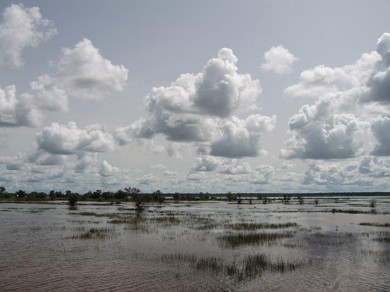
The Gambia follows both banks of the Gambia River, enclosed by Senegal except at its Atlantic coast. Banjul lies near the estuary, while nearby settlements form a larger urban area. The river provides a natural route far inland.
Know the shape of the country
Start with five regions plus Banjul and Kanifing Municipality, then place sixteen cities and towns and follow the Gambia River, four tributaries and the Atlantic. Pan beyond the border to explore the rivers’ mapped upper courses.
Heritage and landscapes of The Gambia
Essential · World Heritage
Kunta Kinteh Island
The island’s fort ruins are part of a UNESCO property documenting centuries of African–European encounters, enslavement and abolition along the river.
Explore twelve places along the coast and river, from Atlantic trade history to stone circles, forests and wetlands. Essential introduces the country; Detour takes you farther along the river. Select a pin to read about a place, then play the map and find them all.
Take Wolof with you
Greetings and politeness
Hello, please, thank you, sorry: the eleven openers everything else builds on.
Keep going one country deeper
When you have had your fill of the Gambia, the countries in white have a guide like this one, and every other has maps of its own.
Africa
- Algeria
- Angola
- Benin
- Botswana
- Burkina Faso
- Burundi
- Cameroon
- Cape Verde
- Central African Republic
- Chad
- Comoros
- Côte d’Ivoire
- Democratic Republic of the Congo
- Djibouti
- Egypt
- Equatorial Guinea
- Eritrea
- Eswatini
- Ethiopia
- Gabon
- Ghana
- Guinea
- Guinea-Bissau
- Kenya
- Lesotho
- Liberia
- Libya
- Madagascar
- Malawi
- Mali
- Mauritania
- Mauritius
- Morocco
- Mozambique
- Namibia
- Niger
- Nigeria
- Republic of the Congo
- Rwanda
- São Tomé and Príncipe
- Senegal
- Seychelles
- Sierra Leone
- Somalia
- Somaliland
- South Africa
- South Sudan
- Sudan
- Tanzania
- Togo
- Tunisia
- Uganda
- Western Sahara
- Zambia
- Zimbabwe
Europe
- Albania
- Andorra
- Armenia
- Austria
- Azerbaijan
- Belarus
- Belgium
- Bosnia and Herzegovina
- Bulgaria
- Croatia
- Cyprus
- Czechia
- Denmark
- Estonia
- Finland
- France
- Georgia
- Germany
- Greece
- Hungary
- Iceland
- Ireland
- Italy
- Kosovo
- Latvia
- Liechtenstein
- Lithuania
- Luxembourg
- Malta
- Moldova
- Monaco
- Montenegro
- Netherlands
- North Macedonia
- Northern Cyprus
- Norway
- Poland
- Portugal
- Romania
- Russia
- San Marino
- Serbia
- Slovakia
- Slovenia
- Spain
- Sweden
- Switzerland
- Türkiye
- Ukraine
- United Kingdom
- Vatican City
Asia
- Afghanistan
- Bahrain
- Bangladesh
- Bhutan
- Brunei
- Cambodia
- China
- India
- Indonesia
- Iran
- Iraq
- Israel
- Japan
- Jordan
- Kazakhstan
- Kuwait
- Kyrgyzstan
- Laos
- Lebanon
- Malaysia
- Maldives
- Mongolia
- Myanmar
- Nepal
- North Korea
- Oman
- Pakistan
- Palestine
- Philippines
- Qatar
- Saudi Arabia
- Singapore
- South Korea
- Sri Lanka
- Syria
- Taiwan
- Tajikistan
- Thailand
- Timor-Leste
- Turkmenistan
- United Arab Emirates
- Uzbekistan
- Vietnam
- Yemen