Facts about Iraq
Explore Iraq from the bookshops of Baghdad and the ancient cities of Mesopotamia to the reed marshes of the south and the mountains of the Kurdistan Region. Locate eighteen sights, learn the country’s geography and discover the languages, food and communities behind its landmarks.
- Capital
- Baghdad
- Currency
- Iraqi dinar (IQD)
- Official languages
- Arabic and Kurdish
- Governorates
- 19, including Halabja
- Principal rivers
- Tigris and Euphrates
- UNESCO World Heritage
- 6 properties
Iraq · 0 of 20 rounds passed
Two timed rounds per topic, 20 seconds a question
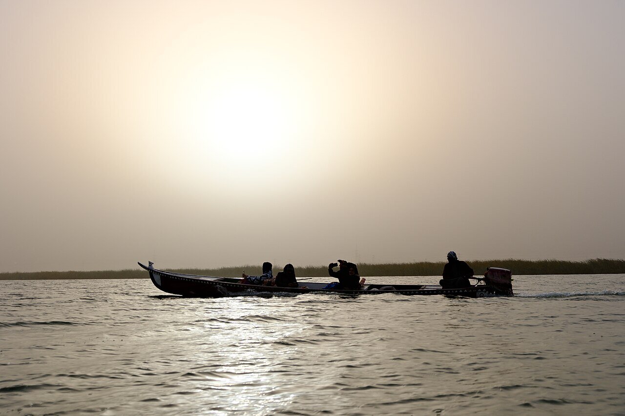
The Tigris and Euphrates give Iraq its geographical thread. Baghdad stands on the Tigris, while Babylon lies south of the capital near Hillah. Farther south, Ur and Uruk connect the river plains with early urban history. Around Chibayish, water channels, reed houses and buffalo herding reveal a different relationship with the same river system. Basra looks towards the Shatt al-Arab and the Gulf.
Northern Iraq brings another set of landscapes and histories. Mosul faces the remains of Nineveh across the Tigris. Erbil’s citadel rises above the modern city, Sulaymaniyah has a strong literary and museum culture and Amedi occupies a mountain plateau. These are places to understand in their own regional contexts. Check current official travel advice and local access requirements before considering a journey. The guide links Arabic and Kurdish lessons, with the varieties taught explained below.
Geography of Iraq
Two great rivers connect mountain tributaries with plains, marshes and the Gulf.
- Which rivers give Mesopotamia its name?
- The Tigris and Euphrates. The historical region extends beyond the borders of modern Iraq.
- Where does the Shatt al-Arab begin?
- Near Al-Qurnah, where the Tigris and Euphrates meet. It flows past Basra towards the Gulf.
- Is all of Iraq desert?
- No. Iraq also contains irrigated river plains, southern wetlands and northern mountain landscapes.
History of Iraq
Sumerian cities, Assyrian capitals and Abbasid Baghdad belong to different chapters.
- Were Sumer, Babylon and Assyria the same empire?
- No. These names refer to different societies and political formations across a long period of Mesopotamian history.
- When was Abbasid Baghdad founded?
- In 762 CE, under the caliph al-Mansur. It later became a major centre of scholarship and administration.
- When did Iraq’s monarchy end?
- In 1958, when a military coup overthrew the monarchy. The kingdom had gained independence in 1932.
Arabic, Kurdish and the languages of Iraq
Arabic and Kurdish are official, within a much wider multilingual society.
- What are Iraq’s official languages?
- Arabic and Kurdish. The constitution also provides for Turkmen and Syriac as official languages in administrative units where their speakers form a majority.
- Are Arabic and Kurdish closely related languages?
- They belong to different families. Arabic is Semitic, while Kurdish is Indo-European.
- Which language varieties do the linked lessons teach?
- Modern Standard Arabic and Kurmanji Kurdish using Latin spelling. They are not dedicated Iraqi Arabic or Sorani courses.
Culture of Iraq
Maqam, poetry and reed architecture connect art with shared spaces.
- What is Iraqi maqam?
- A classical vocal music tradition with a large repertoire and instrumental accompaniment, recognised by UNESCO as intangible cultural heritage.
- What is a mudhif?
- A communal guesthouse made from reeds in the southern marshes. The construction craft is recognised by UNESCO.
- Why is Al-Mutanabbi Street well known?
- Its bookshops and literary gatherings give it a place in Baghdad’s cultural life. It is named after the poet Al-Mutanabbi.
Economy of Iraq
Oil revenues shape public finances, while water sustains farming and local livelihoods.
- Why do oil prices matter to Iraq’s public finances?
- Oil exports supply a large part of government revenue and foreign earnings, so price changes affect the state budget.
- What is Iraq’s currency?
- The Iraqi dinar, abbreviated IQD.
- Why is water important beyond drinking supplies?
- Irrigation supports farming, while wetlands sustain fishing, buffalo herding and reed-based crafts. Drought and salinity threaten livelihoods.
Politics of Iraq
A federal parliamentary republic with recognised regional institutions.
- What political system does the 2005 constitution establish?
- A federal parliamentary republic. The president is head of state and the prime minister directs the government.
- Is the Kurdistan Region a separate country?
- No. Iraq’s constitution recognises it as a federal region within Iraq, with its own regional institutions.
- Why does this guide show nineteen governorates?
- Halabja received federal recognition as Iraq’s nineteenth governorate in 2025. It is shown separately from Sulaymaniyah.
Nature & Wildlife of Iraq
Reedbeds and migratory birds in the south, mountain habitats in the north.
- What does the Ahwar World Heritage property include?
- Four wetland components and the archaeological sites of Ur, Uruk and Eridu. It combines natural and cultural heritage.
- What happened to the marshes after 2003?
- Some drained areas were reflooded, but reduced river flows, drought and salinity continue to threaten the wetlands.
- Do the lake maps show current water levels?
- No. They use generalised reference outlines. Actual shorelines vary with water management and environmental conditions.
Food & Cuisine of Iraq
Masgouf, dolma and kubba express different ingredients and regional traditions.
- What is masgouf?
- An Iraqi fish preparation in which a split fish is cooked beside a wood fire. It is closely associated with river culture.
- What is Iraqi dolma?
- A family of stuffed vegetables and leaves, often cooked together in one pot. Ingredients and seasoning vary.
- What are kleicha?
- Pastries often filled with dates or nuts, with different shapes and recipes used by different families and communities.
Landmarks of Iraq
Ancient cities sit alongside living shrines, historic streets and recovering urban heritage.
- How many UNESCO World Heritage properties does Iraq have?
- Six. Ur, Uruk and Eridu are components of the Ahwar property, rather than three additional inscriptions.
- Can the Hanging Gardens be visited as a surviving garden at Babylon?
- No. Their location and historical interpretation remain debated. Babylon itself is an archaeological World Heritage property.
- Where is the spiral Malwiya minaret?
- At the Great Mosque of Samarra. The mosque is part of the wider Samarra Archaeological City World Heritage property.
People & Society of Iraq
Overlapping languages, identities and histories connect communities across Iraq and abroad.
- Do Iraqi identities fit into only two groups?
- No. Arab and Kurdish communities are the largest, alongside Turkmen, Assyrian, Chaldean, Syriac, Yazidi, Shabak, Mandaean and other communities.
- Do language and religion describe the same thing?
- No. They are different aspects of identity, and multilingual communities can share a language while practising different religions.
- How has displacement shaped Iraq?
- War and persecution have moved families within the country and abroad. These experiences continue to influence neighbourhoods, family networks and cultural recovery.