Denmark is bigger than it looks
Unroll its coastline and it reaches past New York. Scroll from the sandy tip of Jutland, past some 400 islands, to the bridge that dives under the sea and surfaces on an island Danes built for it.
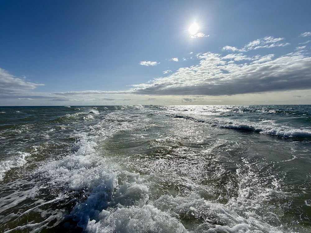
Start at Grenen, a sandy spit that curls off the northern tip of Jutland, just past the town of Skagen. The Skagerrak meets the Kattegat here, and visitors wade out to stand with one foot in each sea.
Follow Jutland south to Denmark’s one land border, a 68 kilometer line with Germany. Every other edge of the country meets the sea.
Count every island and inlet and Denmark has 7,314 kilometers of coastline, more than a hundred times the length of its land border.
Nowhere in Denmark is more than 52 kilometers from the sea, so it is no surprise that Danes have been sailors since the Vikings.
Laid end to end, the coast reaches past New York
Stretch Denmark’s 7,314 kilometers of coastline out in a straight line from Copenhagen and it runs farther than the 6,190 kilometer flight to New York. That is a lot of shoreline for a country you can drive across in an afternoon.
The country is split into five regions, from Nordjylland at the top to Syddanmark at the bottom. Only Jutland, the peninsula, is attached to the rest of Europe.
Cross the water east of Jutland and the land breaks into islands. Funen comes first, then Zealand, the biggest of them all, with Copenhagen on its eastern shore.
Statistics Denmark counts about 400 islands in all. Lolland and Falster sit to the south, and Bornholm lies far off to the east.
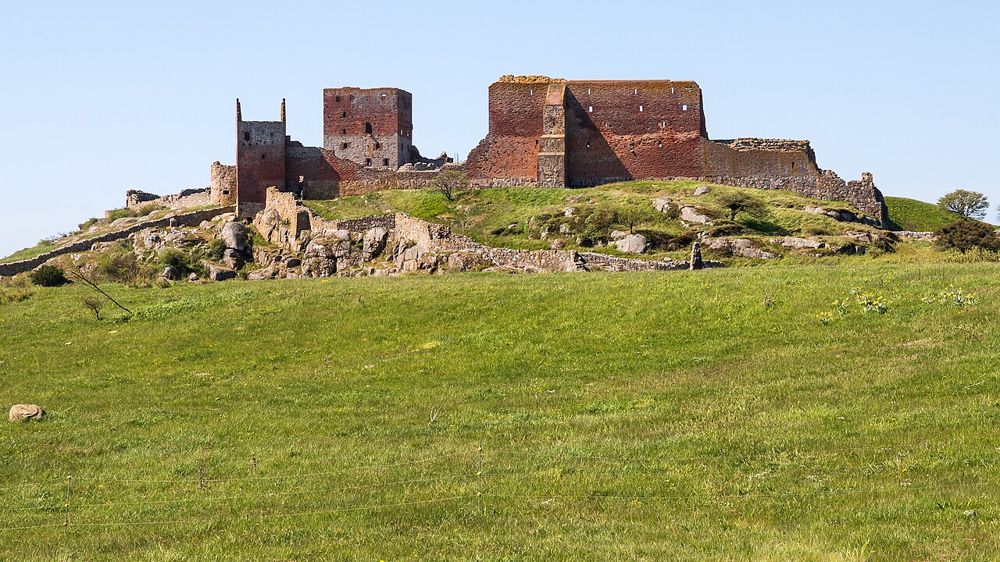
Bornholm, the sunshine island, sits far out in the Baltic, closer to Sweden than to the rest of Denmark. Its granite cliffs, topped by the ruins of Hammershus castle, look like nowhere else in the country.
Even so, it belongs to the Capital Region, along with Copenhagen, which is more than 150 kilometers away.
Most of its power now comes from the wind
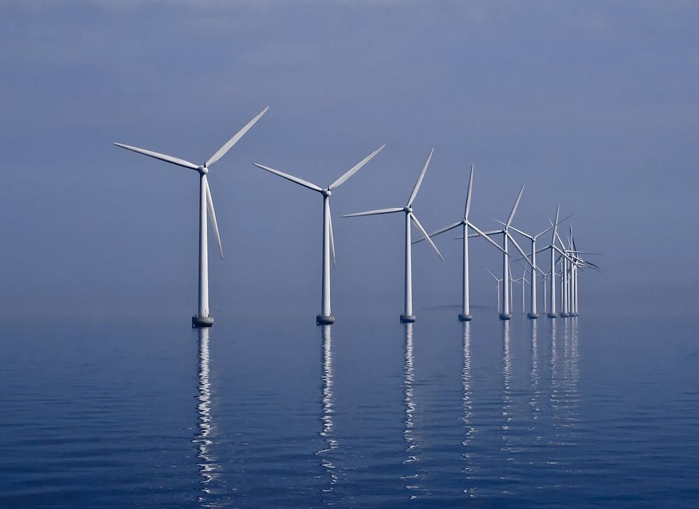
In 1991 Denmark put eleven turbines in the water off Lolland and opened Vindeby, the first offshore wind farm in the world. In 2024 wind made 59 percent of the country’s electricity. The photo shows Middelgrunden, a curve of 20 turbines just off Copenhagen.
Share of electricity generated from wind, 2024.
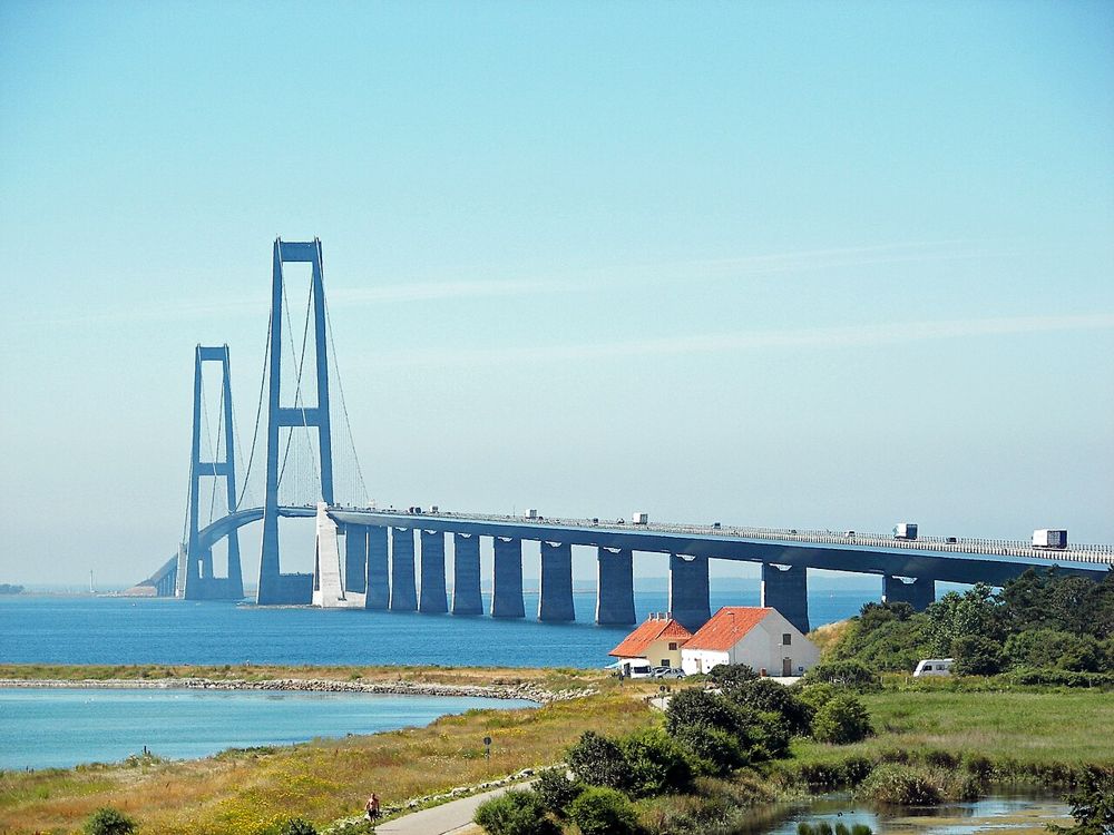
Until 1998, crossing from Funen to Zealand meant a ferry. Then the Great Belt link opened, 18 kilometers of bridges and tunnels. The main span of its East Bridge, 1,624 meters between the towers, is still among the longest of any suspension bridge in the world.
Further east, the Øresund Bridge has linked Copenhagen to Malmö, in Sweden, since the year 2000.
Zoom in on that crossing. The bridge runs nearly 8 kilometers out from Sweden, then dives into a 4 kilometer tunnel before it reaches Denmark.
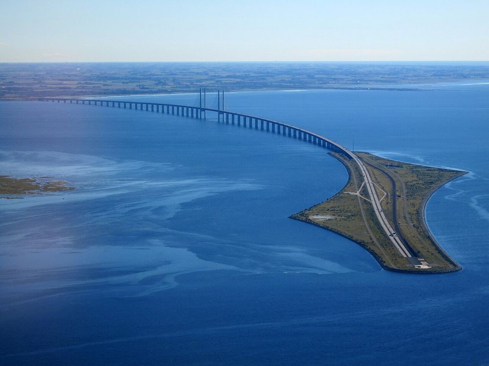
The tunnel surfaces on Peberholm, an island built for the crossing. Going under keeps the link clear of the ships below and of the planes landing at Copenhagen Airport.
of every 100 Danes live in the Capital Region, around Copenhagen and out on Bornholm.
live in Midtjylland, around Aarhus on the east coast of Jutland.
live in Syddanmark, around Odense on Funen and Esbjerg on the west coast.
That is about three quarters of Denmark in three regions. Nordjylland, nearly a fifth of the land, holds ten of every hundred, and Sjælland holds fourteen.
Could you find them now?
Three towns on a blank map of Denmark. Tap the dot.
Find 1 of 3
Skagen